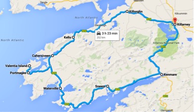
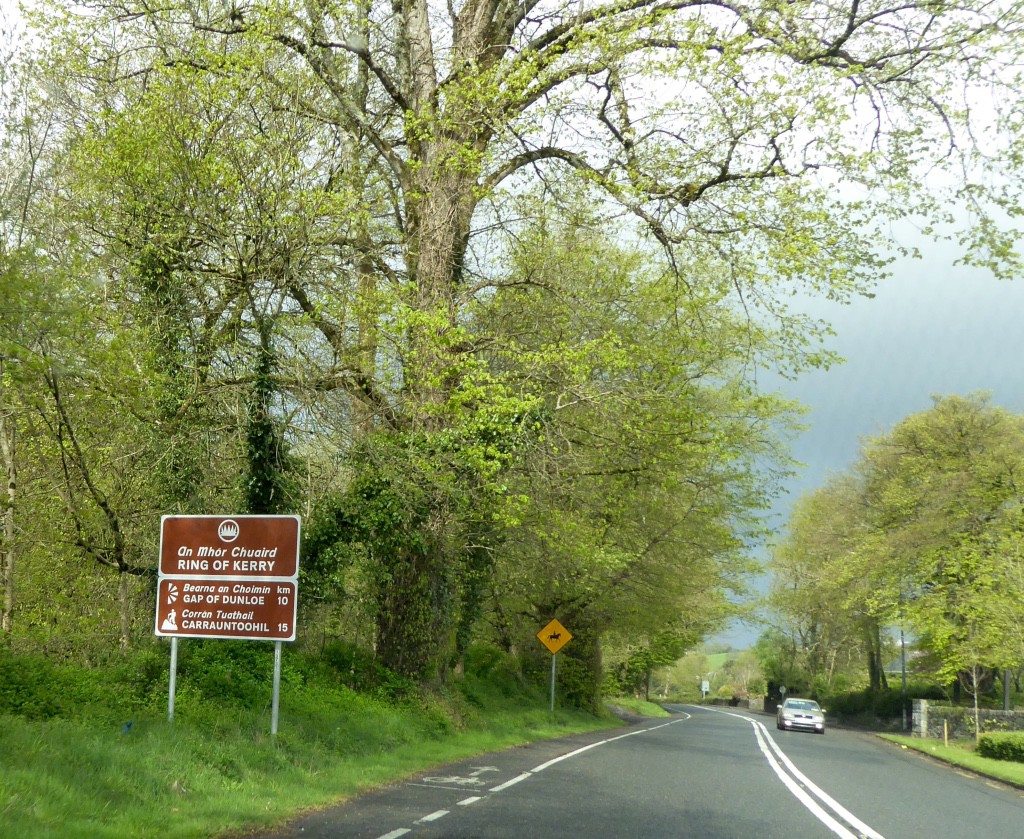
The South West of County Kerry forms a peninsular, which thrusts out towards the wild Atlantic Ocean. Around this peninsular is one of the great drives of the World – the Ring of Kerry.
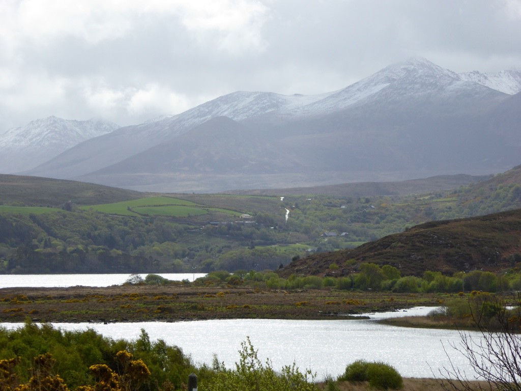
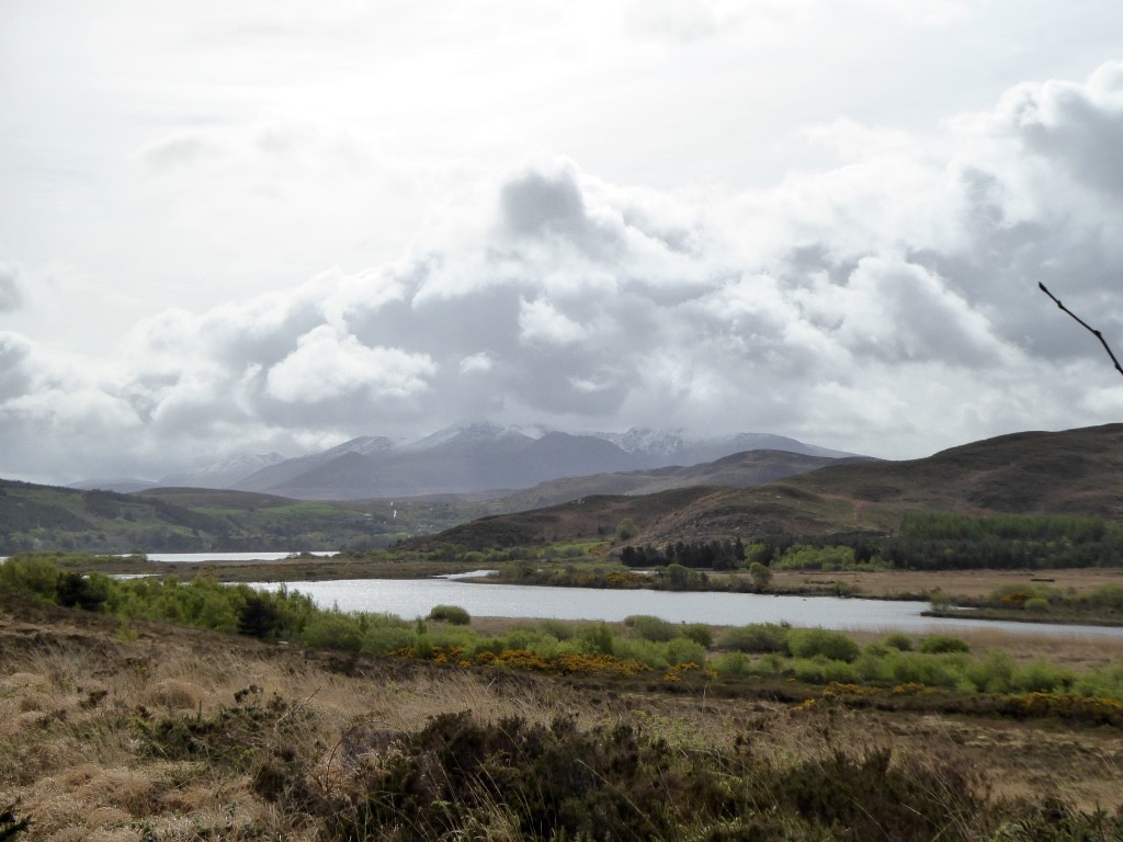
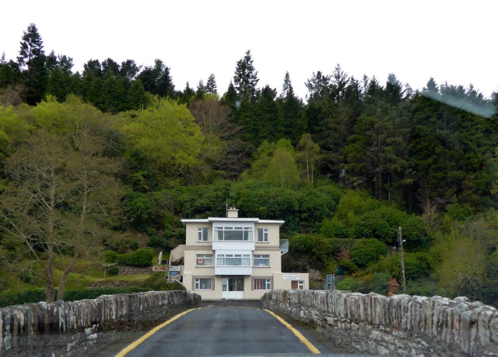
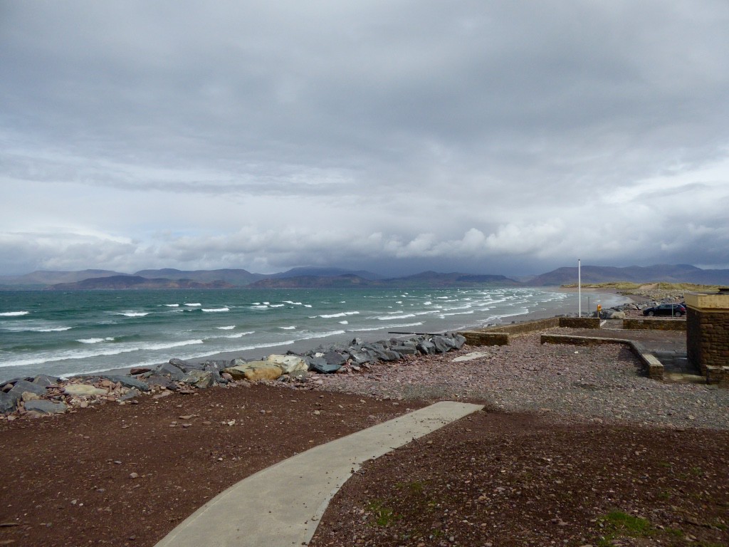
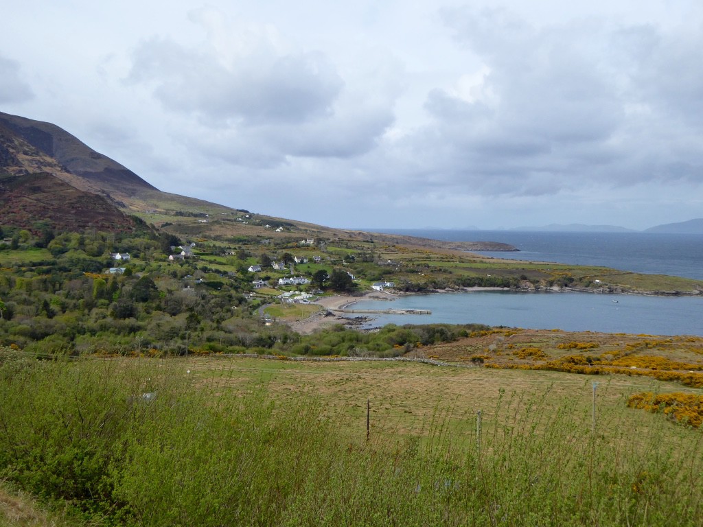
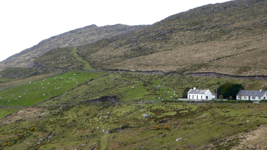
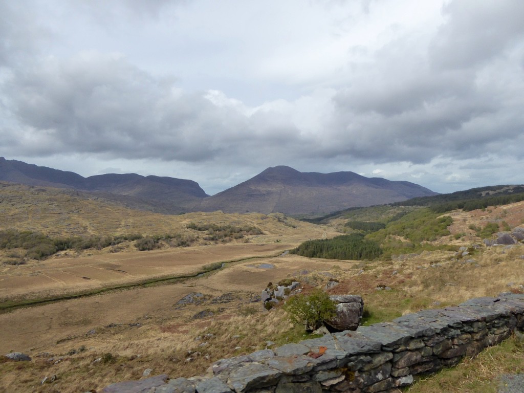
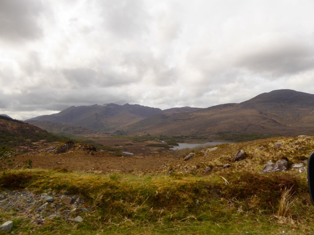
We headed out from our hotel into a rainy morning however it soon broke up and although very windy was fairly clear. Not far on our way we were tempted down a side road by a sign to a “Lake View”. The view never appeared – will we ever learn? After going a fair way up a narrow lane looking for a place to turn around (a chronic problem/drama in UK and Ireland) we eventually recovered to the highway and continued on our way via grand mountain scenery to the north coast where we diverted down to the shore and the village of Rossbehy.
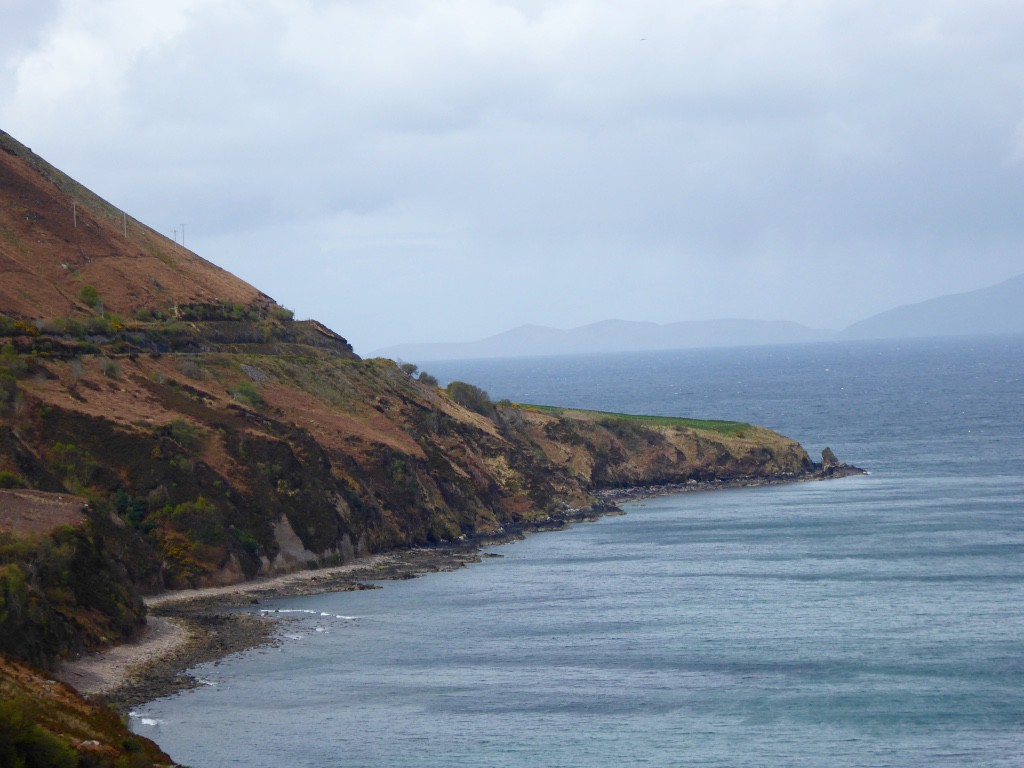
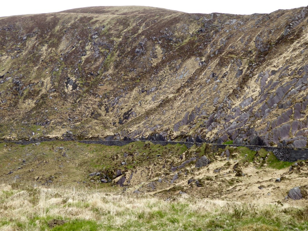
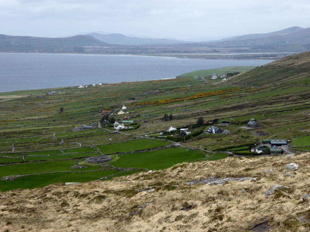
A grand view was promised on this side road – this time delivered with a vengeance. We set off out of the tiny seaside village and found ourselves headed up the side of the mountain on a precipitous goat track with a sheer drop on our right, so steep we were literally leaning forward in our seats. We stopped a couple of times – on the track, nowhere else – and triple checking in Park and Brakes On, tiptoed to the edge to take in the “grand view” which fulfilled all expectations.
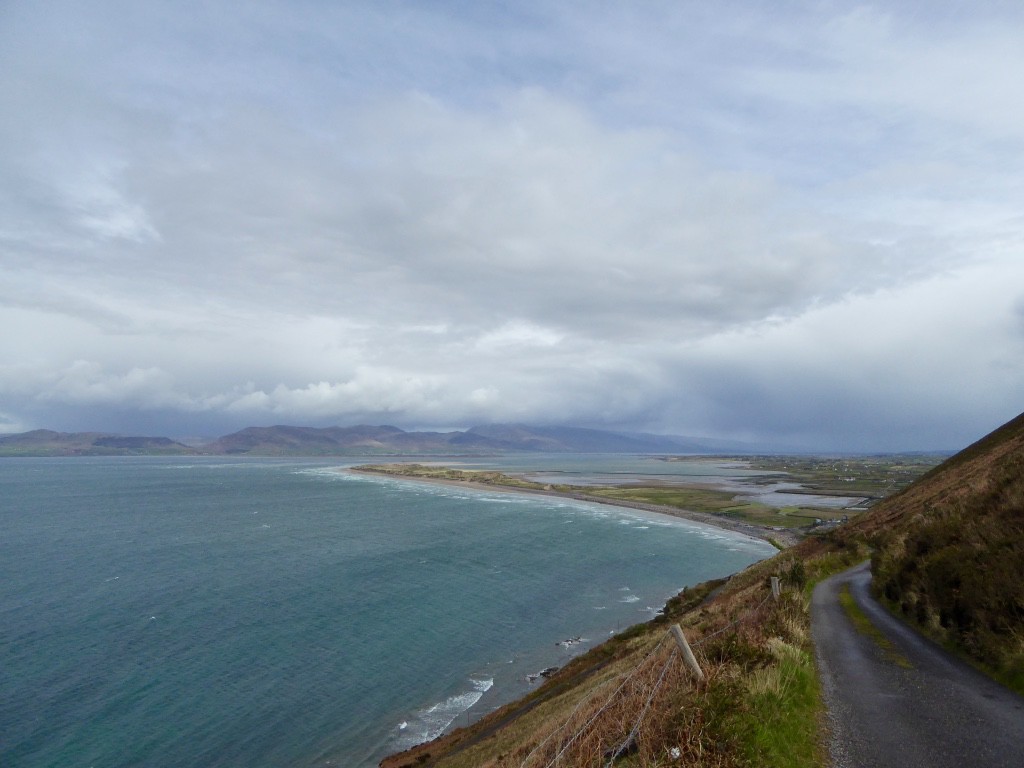
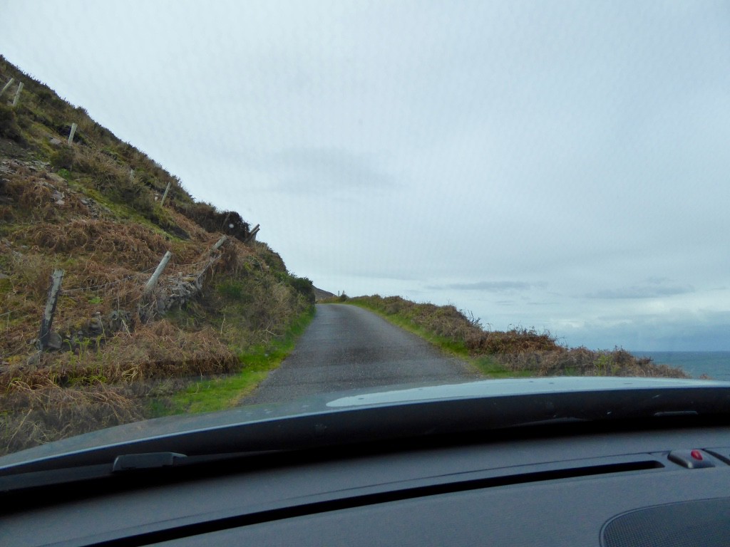
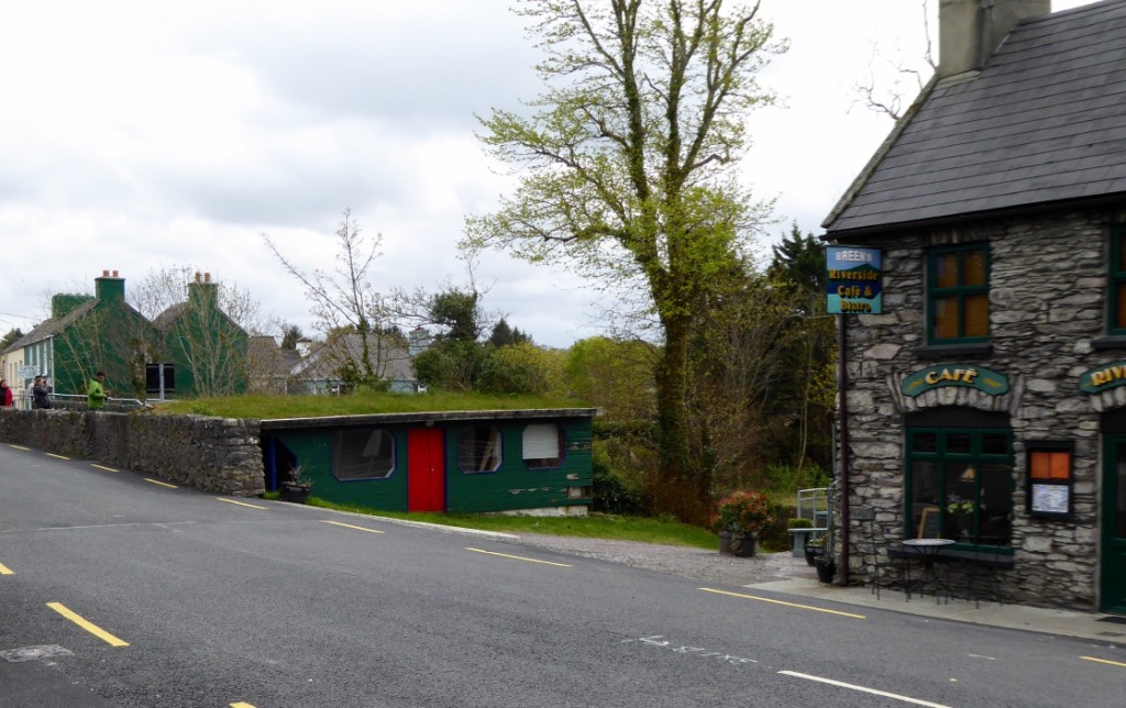
Praying no one was coming the other way – our prayers were answered – we continued on and recovered to the main road. We wended our way on via Caherciveen to Port Magee at the far end of the Kerry. This little port was named after the notorious (and successful) 18th century smuggler Captain MacGee (a retired army officer no less – haha).
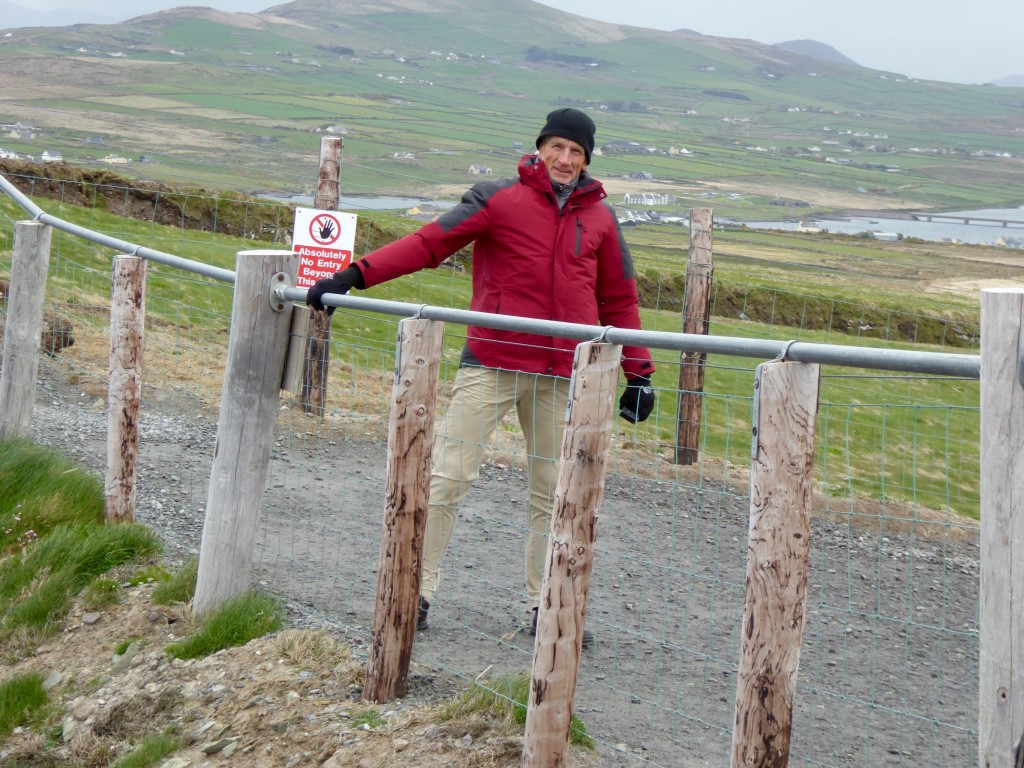
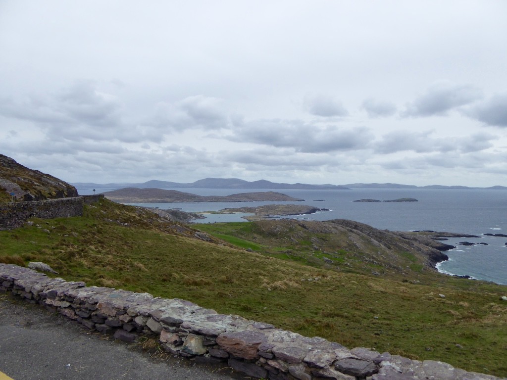
Here we followed signs to “the highest cliffs in Kerry “. We arrived at a café etc. with parking and we were ushered in by a gentleman and neatly stripped of 2 Euro apiece to take in the view – pitched just right I must say – not too little, not too much. We were pointed up a nicely graveled track towards the cliffs and headed off on foot into a 90-knot headwind (only a slight exaggeration).

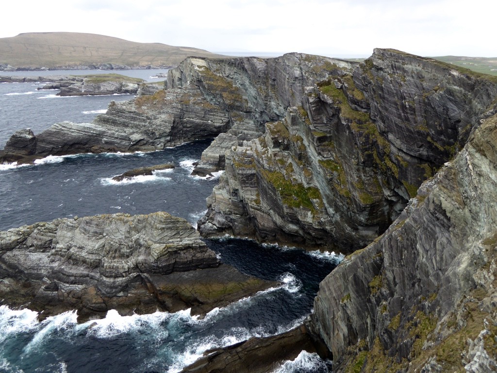
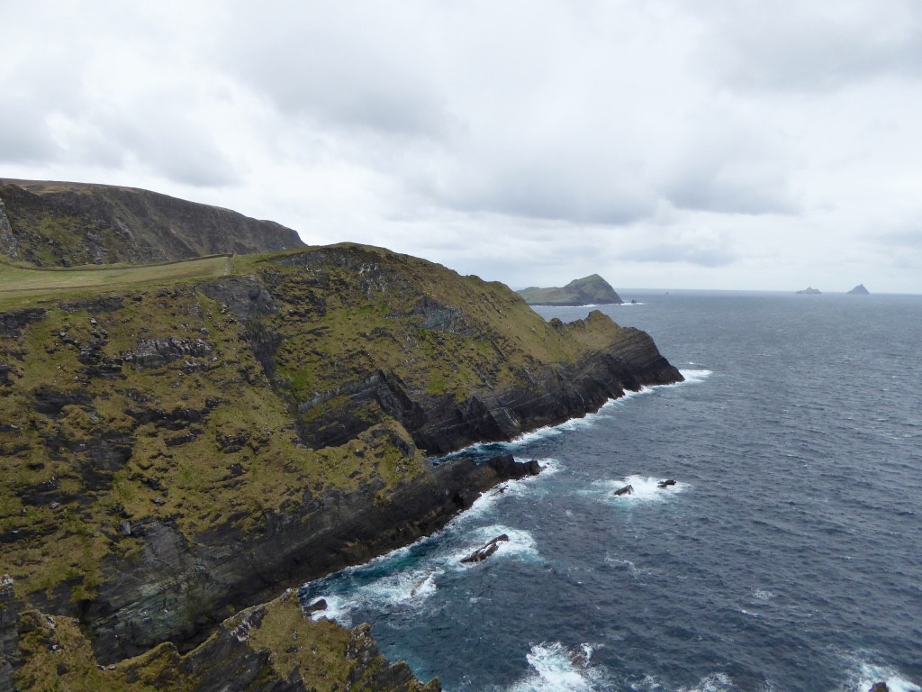
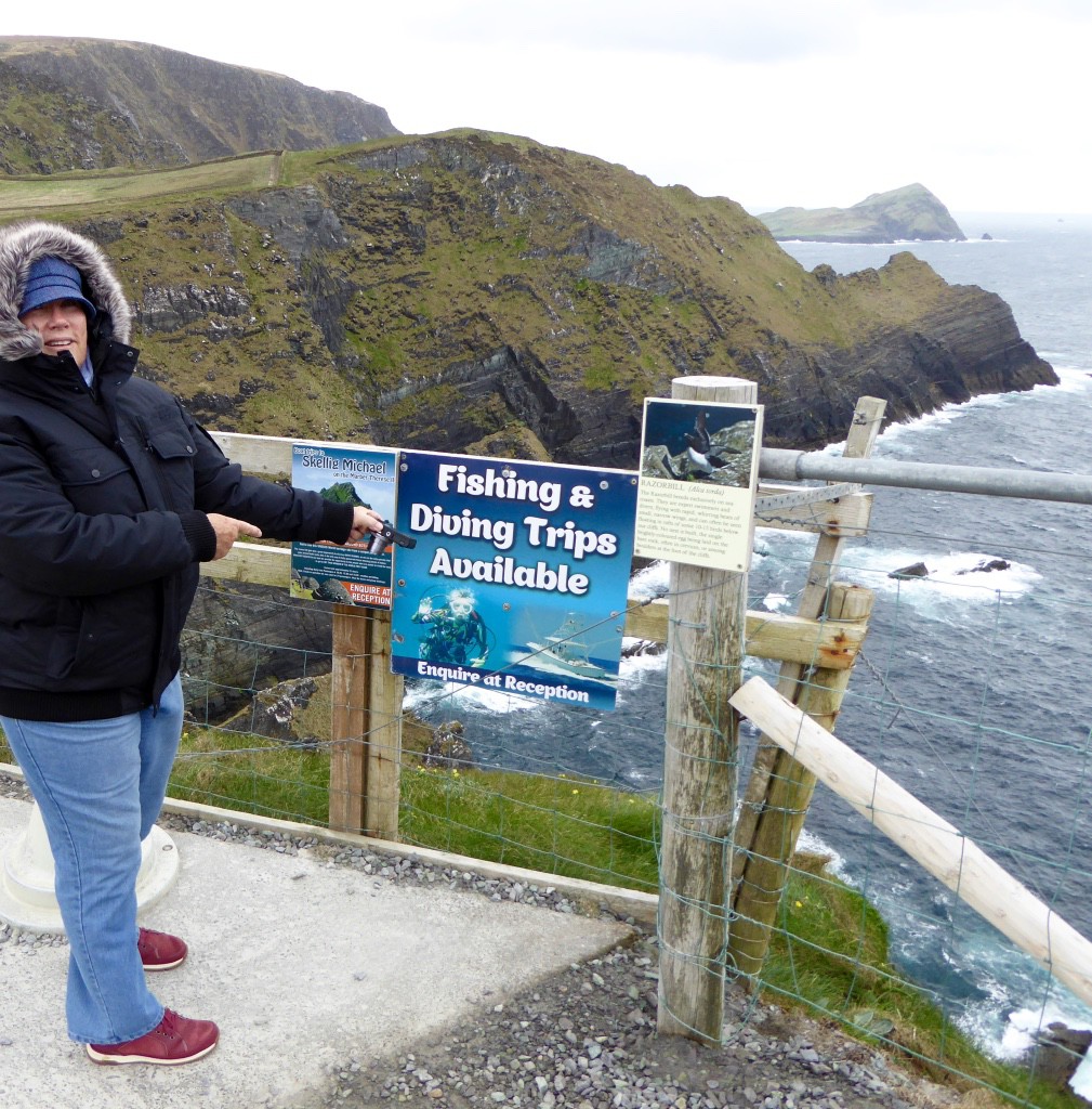
The view was fabulous and after we had taken it all in for some time, while clinging to the rails, we headed back down the path considerably faster than we came up. The bloke was still happily parking cars and collecting Euros so since he obviously was not an employee I asked him if it was his farm were were on? He said yes and I remarked “Farming tourists instead of sheep?” which he confirmed and added with a chuckle “The sky’s the limit!”.
Naturally after being frozen on the cliff we were in need of the coffee and a hot chocolate provided by his wife’s cafe – altogether an excellent business model.
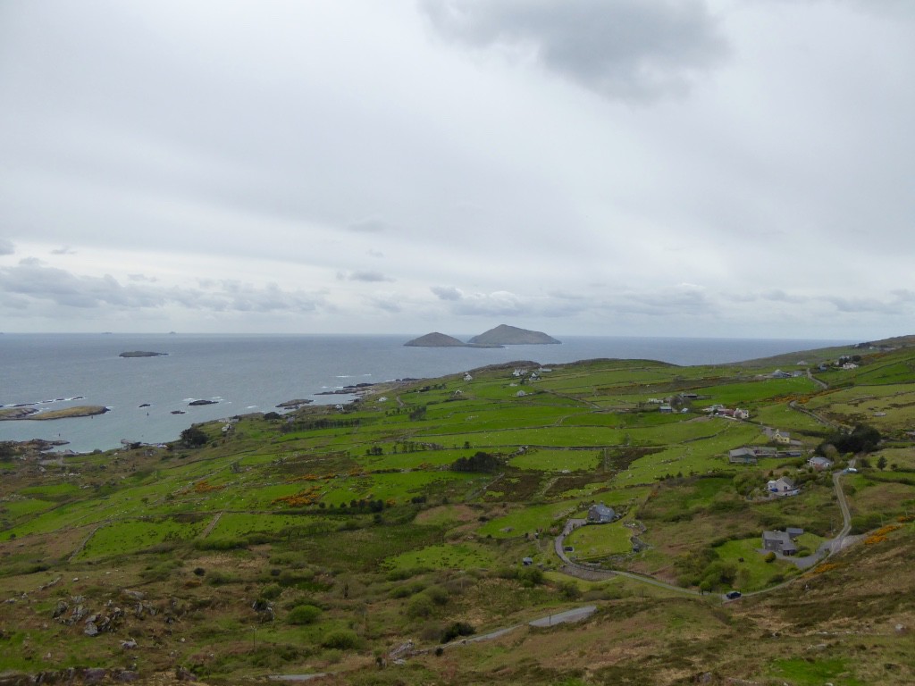
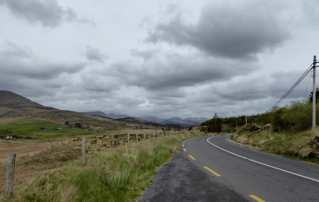
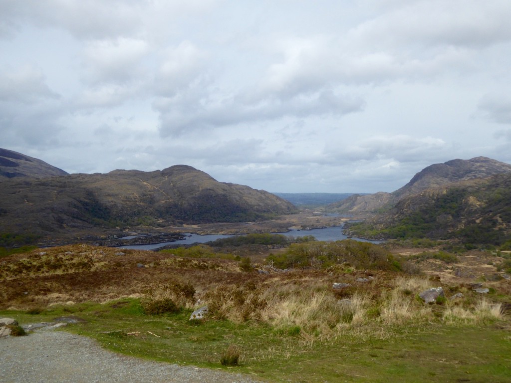
From there we continued on via Waterford down to Caherdaniel (stunning views),
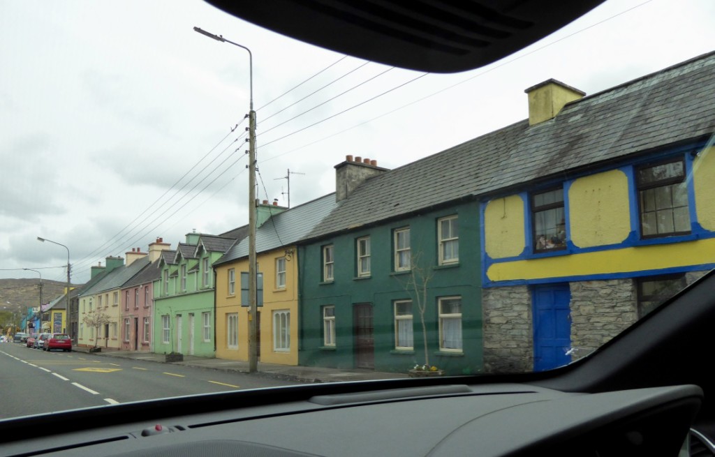
through the town of Sneem


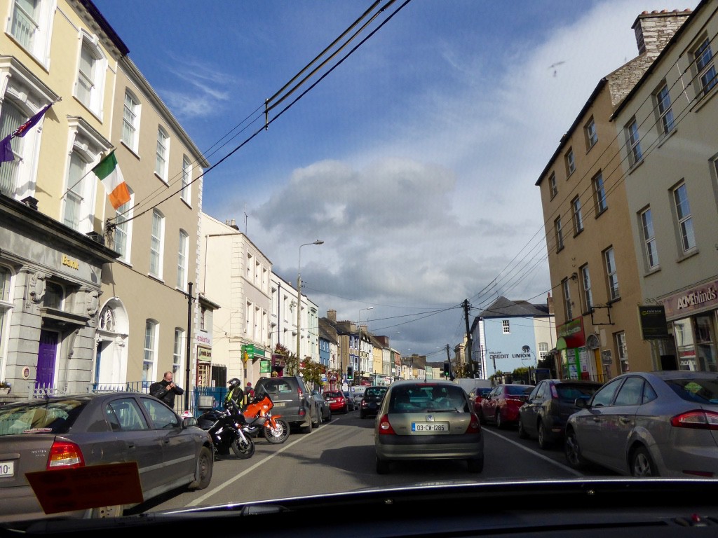
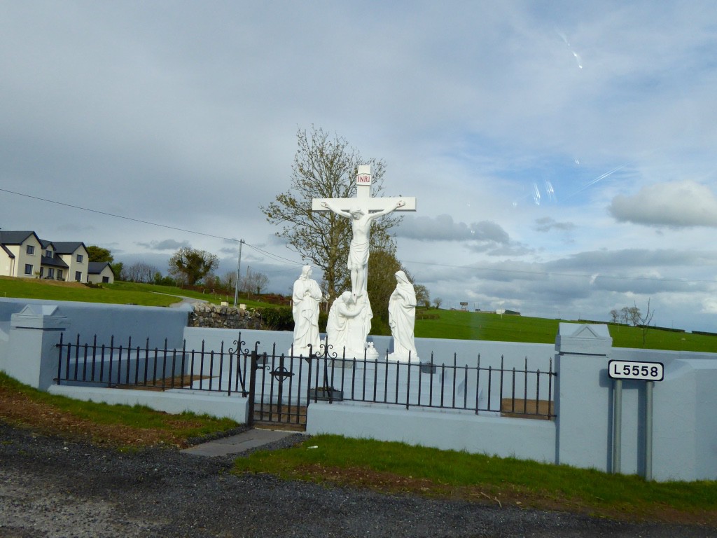
Finally got back to Killarney and then on to Mallow. We hit the ‘rush hour’ and only some ingenious map reading and diversions got us through and on to Eva’s B&B (turn at the Shrine). Needless to say after seeing the Shrine we behaved ourselves impeccably!!
We needed have worried. Eva turned out to be most hospitable, greeting us with tea and scones and apple cake and a beautiful room looking out on to the garden.